Shoreline Erosion Drone Survey
Couldn't load pickup availability
Description
Description
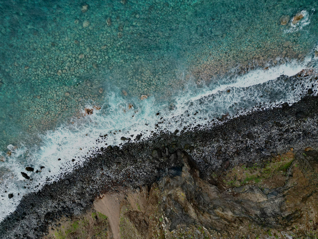
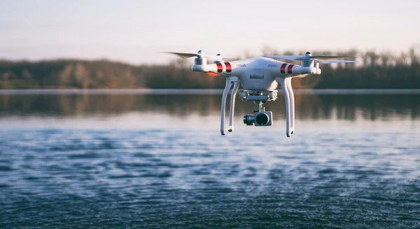
Lake Pulse’s Shoreline Integrity & Erosion survey uses drones with high-resolution cameras and photogrammetry software to capture detailed imagery of shoreline conditions. These surveys reveal erosion, bank instability, and vegetation loss, allowing lake managers to track changes over time and prioritize stabilization efforts. By providing clear, repeatable imagery, the service helps identify problems before they become costly damage.
*** Why does this say it costs $10? To ensure your drone mission delivers exactly what you need, we require a brief scoping call before scheduling. This call is set at a nominal $10 fee — not as a cost, but as a signal of commitment and to save you both time and money in the long run. Flying a drone mission over your lake involves important upfront considerations: 1) FCC-approved flight plans, 2) Mission size and scope. 3) Specific objectives and data requirements. A short alignment call allows us to clarify these details upfront, streamline the planning process, and avoid unnecessary costs or delays.
What problem does this solve?
What problem does this solve?
What's included?
What's included?
Results
Results
Payment & Security
Payment methods
Your payment information is processed securely. We do not store credit card details nor have access to your credit card information.


