Search Log in Basket
Lake Pulse Toolbox  |  SKU: LP-BH-DA-002-01

Invasive/Native Weed Drone Survey

$5.00
Shipping calculated at checkout.


Description

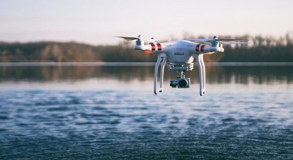
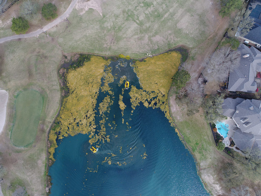
Lake Pulse’s Aerial Vegetation Mapping Service uses high-resolution drones equipped with visible and near-infrared (NIR) imaging to map aquatic plant growth with precision. These surveys can distinguish between native and invasive species—like milfoil, hydrilla, and lily pads—and provide detailed data on extent, density, and seasonal trends. This supports more effective planning, treatment, and long-term ecological management of your lake.

*** Why does this say it costs $5?    To ensure your drone mission delivers exactly what you need, we require a brief scoping call before scheduling. This call is set at a nominal $5 fee — not as a cost, but as a signal of commitment and to save you both time and money in the long run. Flying a drone mission over your lake involves important upfront considerations: 1) FCC-approved flight plans, 2) Mission size and scope. 3) Specific objectives and data requirements. A short alignment call allows us to clarify these details upfront, streamline the planning process, and avoid unnecessary costs or delays.

What problem does this solve?

It solves the problem of not knowing which aquatic plants—native or invasive—are growing in your lake and where, leaving you vulnerable to unchecked weed proliferation. By using drone imagery and mapping, Lake Pulse subscribers receive a detailed report of plant species locations and density, empowering you to manage beneficial vegetation and proactively control invasive threats before they spread.

What's included?

  • Aerial survey using drones equipped with visual and NIR sensors
  • Detection and mapping of: Invasive vs. native aquatic vegetation, plant density and coverage, and seasonal changes in growth patterns
  • Data delivered through your Lake Pulse Portal
  • Summary report highlighting key areas for treatment, monitoring, or follow-up
  • Optional: Routine vegetation mapping throughout the growing season

Results

With drone-based vegetation mapping, you get:

  • Accurate maps of weed locations and density across the entire lake
  • Smarter targeting of herbicide treatments or mechanical removal
  • Reduced costs from fewer manual surveys or trial-and-error approaches
  • Improved long-term planning through trend analysis and seasonal tracking
  • Greater confidence in management decisions, backed by high-quality data

Payment & Security

Payment methods

  • American Express
  • Apple Pay
  • Diners Club
  • Discover
  • Google Pay
  • Mastercard
  • PayPal
  • Shop Pay
  • Venmo
  • Visa

Your payment information is processed securely. We do not store credit card details nor have access to your credit card information.

Telehealth for Lakes

Lake Pulse understands you are tired of waiting for others to produce data on your lake. The Toolbox enables you generate the data you need to reach your lake health & safety goals.