Does Our Lake Need an Admin—or Is a Basic Subscription Enough?
One of the most common questions we hear at Lake Pulse is simple: Do we really need an Admin subscription, or can we manage our lake with a basic subscription?...

One of the most common questions we hear at Lake Pulse is simple: Do we really need an Admin subscription, or can we manage our lake with a basic subscription?...

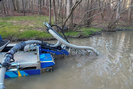
Dredging is one of the most significant and invasive management activities you can undertake in a lake or pond. While it can restore depth, improve water quality, and extend the...

For the last decade, environmental DNA (eDNA) has been the darling of conservation biology and ecosystem monitoring. By capturing fragments of genetic material left behind in water, scientists and managers...

Lakes don’t take care of themselves. Every shoreline, every cove, every stream that feeds into a lake needs thoughtful oversight. For decades, this role has often fallen to dedicated volunteers...