Historical Survey - Sediment Disruption
Couldn't load pickup availability
Description
Description
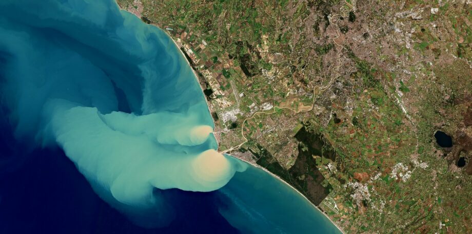
Lake Pulse’s Sediment Disruption Historical Survey uses archived satellite imagery to reveal how sediment disruption events on your lake have changed over time. Available in both high-resolution and low-resolution formats, this tool is designed for Lake Pulse subscribers seeking a clear, data-driven view of sediment movement and disturbance patterns—helping understand the impact of Wakesurfing, guide dredging decisions, shoreline protection strategies, and long-term ecosystem management.
Product Options:
- 3-Week Recap – A short-term analysis tracking sediment disruption across the lake, highlighting where disturbances originated and how concentrated areas developed and shifted over the past 2–3 weeks.
- 10-Year Abstract – A concise summary of sediment disruption activity over the past decade, highlighting years with the highest and lowest disturbance levels.
- Top-3 Sedimentation Event Deep Dive – A detailed analysis of the three most significant sediment disruption events in the last 10 years, including their origin points, spread, and potential contributing factors.
- Custom Deep Dive – A flexible option to examine sediment disruption activity over any chosen time period, tailored to specific management goals, project timelines, or environmental changes.
Whether you’re planning infrastructure upgrades, preparing a regulatory report, or simply monitoring long-term changes, the Sediment Disruption Historical Survey provides the historical insight you need to make informed, proactive decisions.
What problem does this solve?
What problem does this solve?
What's included?
What's included?
Results
Results
Payment & Security
Payment methods
Your payment information is processed securely. We do not store credit card details nor have access to your credit card information.


